Note:The following post requires gdal 1.8
A lot of times we need to send/use 3D dxf files, we used to use FME however FME is not free or cheap. So I went looking for a free solution.
If you have gdal 1.8 it’s just one simple command line run using, what is becoming my favorite GIS tool, ogr2ogr.
All you have to do is run:
ogr2ogr -f "DXF" {outFile} {inFile} -zfield {ColumnWithZValue}
So in my case I ran:
ogr2ogr -f "DXF" C:\Temp\contourswarwick.dxf C:\Temp\Contours.TAB -zfield Height
I haven’t fully tested it but {outfile} can be any file ogr supports.
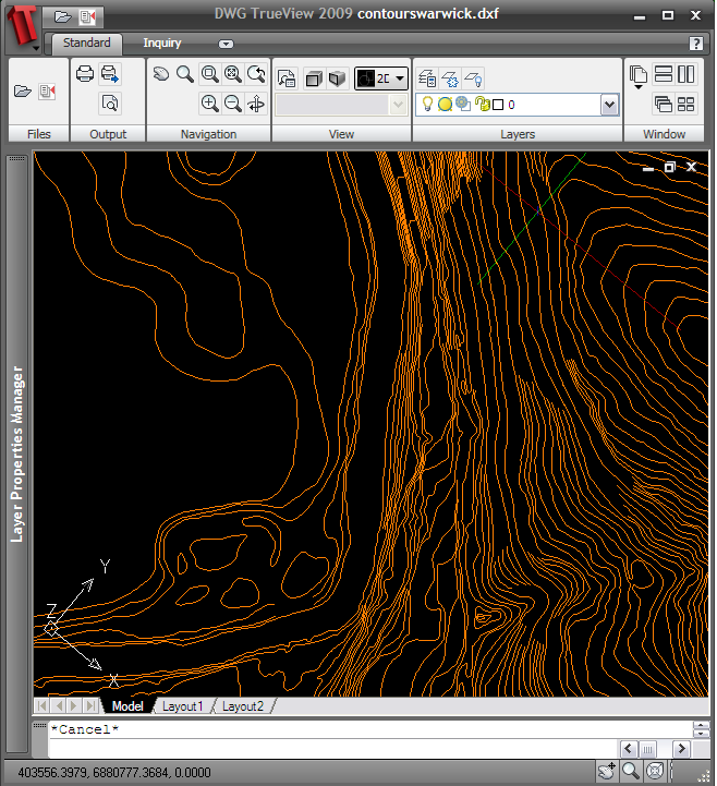
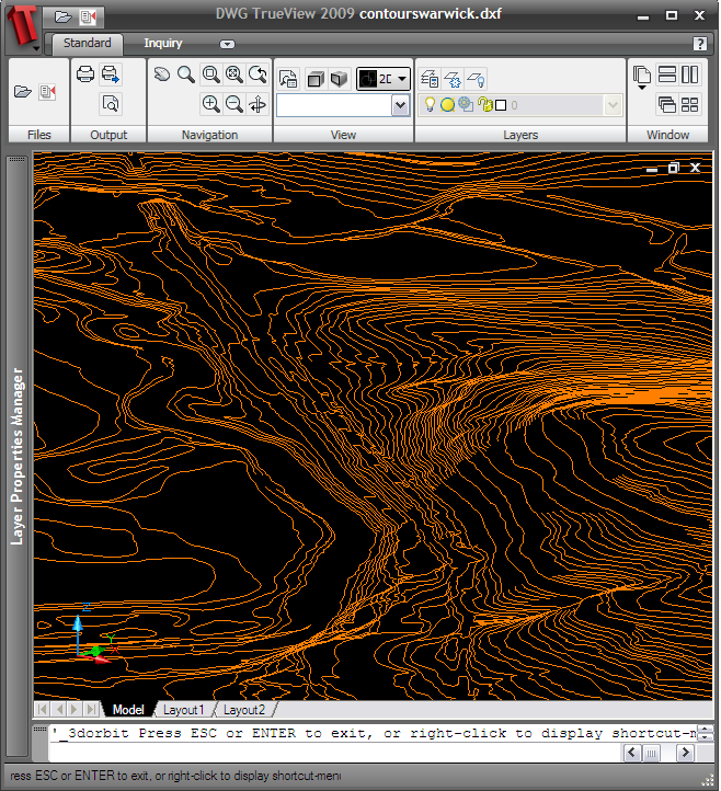
and the output:


In the words of, the not so great, Charlie Sheen. WINNING!
Happy mapping :D
Hi Nathan,
I would like to know more about this. Where to get, how to install it and how to use it. Please kindly help me because there some urgent work that I need to submit. Thanks….
Hi Naz,
You can install GDAL 1.8 using the installer from here: http://download.osgeo.org/osgeo4w/osgeo4w-setup.exe
Run the exe and click express install, select GDAL and click next, follow the rest of the screens until it is installed.
Once installed you should find a menu item in your start menu called “OSGeo4W”, open that and the sub menu “OSGeo4W” and click “OSGeo4W Shell”. You should then be able to run the command I posted.
Speaking of 2.5/3D, I believe there was a patch somewhere to actually support 2.5D geometries in QGIS (rather than z values in an attribute column)…
-zfield doesn’t seem to work with the most recent GDAL, 1.9.2.